
Check Sources for Nueces County Neighbors
Each source describes a different part of the block. The GIS viewer places parcels beside one another. A parcel card identifies the listed owner, legal description, situs address, and mailing clue. Deeds and plats explain a transfer or a lot line. Permits can document work tied to an address, and community plans identify areas and organizations. A voter record has strict public and confidential fields, so it is not a street browser. None of these sources establishes who sleeps at a house or lists every member of a household.
| Source | What It Shows About a Block | Access |
|---|---|---|
| NCAD GIS | Parcels, streets, city limits, ZIP, zoning, flood, and district layers | Public viewer, inspect live controls |
| NCAD parcel card | Owner, legal description, situs and mailing clues | Search each parcel separately |
| County Clerk plats and deeds | Lot lines, transfers, restrictions, and easements | GovOS, Kofile, counter, or microfilm |
| City permits | Address-linked work and inspection history | Dynamic portal or custodian request |
| Community plans and library collections | Planning area, historic civic or directory context | City page or in-room research |
An owner may be elsewhere, and a mailing address can differ from the parcel's physical address. Treat the listed person as the owner of record on that date, not automatically as one of your neighbors.
Map Nueces County Neighbor Parcels
The NCAD GIS viewer is the spatial starting point. Find the target parcel, record its account or geographic ID, and inspect the parcels that share a lot line or sit across the road. Map zoom and measurement tools help define a modest block segment. The annual-report description identifies useful layers such as city limits, streets, zoning, school and water districts, flood information, ZIP, subdivisions, and sales context. Those layers can explain why adjoining lots fall under different city systems. Their presence does not create an occupancy list.
The map archive reaches back to 1982. For earlier block shapes, compare plats, deeds, the 1894 Sanborn map, and directories. A parcel split or merge can create a new account, so record the date and layer when making a historical comparison.
Use Nueces County Permit Clues
Corpus Christi's Dynamic Portal is an address-based supplement for a block question inside the city system. It supports anonymous address searching, permit-number lookup, date-range building-permit searches, document handling, payments, review comments, inspections, and permit-card printing. Inspections appear after fees are paid. A permit can date work at a place, but it does not prove who occupied it or whether the same owner remains associated with the parcel.
The official Dynamic Portal is the current search entry.
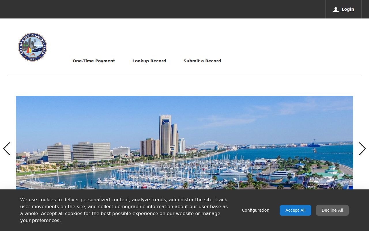
Use a saved permit number or date with the portal's own controls, and ask the city custodian about a record that is not visible online.
Find Nueces County Community Context
Neighborhood context is not the same thing as a membership roll. Corpus Christi Community Development handles comprehensive, area, neighborhood, and master plans, including annexation and de-annexation work. Official area-plan materials name neighborhood, business, and civic organizations, particularly in the Westside planning context, but research did not locate one verified countywide directory of association members, contacts, or block-watch rosters. The city department is a reliable starting point for current planning contacts, not a substitute for a roster.
The Community Development page identifies that planning channel.

Use a plan to understand the area and the relevant city contact, then ask whether a current organization keeps public information.
| Community Development | Current city planning, area-plan, neighborhood-plan, and annexation context. |
|---|---|
| CCPL Special Collections | Historic clubs, organizations, directories, photos, yearbooks, and scrapbooks in room. |
| Nueces County Historical Society | Family-history and preservation context, without a posted member-name catalog. |
Request Nueces County Block Records
When an official online result is absent, ask the correct custodian for an existing record. The Corpus Christi City Secretary lists public-record request categories and a fallback request form. County Clerk channels are appropriate for recorded plats and deeds; city offices keep their own municipal material; rural parcels may involve the County Addressing Program. A focused request names the address, record type, date range, and preferred format. Under the Texas Public Information Act, a custodian can release nonconfidential existing material or explain an exception. It does not have to create a block analysis.
The Corpus Christi public-records page shows the municipal request route.
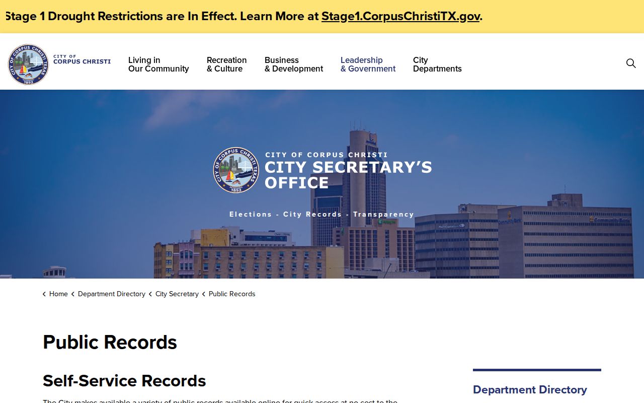
A dated, specific request lets the custodian search the actual record without turning an uncertain neighborhood question into a broad personal-data request.
Trace a Nueces County Block
Work from one address outward in short steps. The method preserves the difference between location, ownership, and occupancy. Open each surrounding parcel's own record rather than copying a name across the block. Compare the subdivision and lot-block description with the GIS geometry, then use a plat or deed only if the lot line or transfer matters. For a full named street rather than immediate neighbors, use the separate Nueces County street directory workflow.
- Locate the target address in GIS and save the account or geographic identifier.
- Click the adjoining and across-street parcels and open each NCAD record.
- Compare situs, mailing, legal-description, lot-block, and city-limit fields without assuming occupancy.
- Use the County Clerk index for a transfer, plat, restriction, or easement question.
Save the source and date with each observation. That small log is the best guard against mixing a newer parcel map with an older transfer record.
Keep Voter Records in Proper Bounds
The Texas voter tool is person-keyed. County instructions identify a Texas driver-license number when it was supplied at registration, a VUID, or a first and last name as lookup paths. It is intended to confirm registration status and polling information, not to browse a ZIP, street, or block. Name, date of birth, VUID, and elections in which a person voted have defined public rules, but ballot choices are not public. Social Security numbers, driver-license or state ID information, and protected addresses are confidential. A protected name may appear with asterisks in place of an address.
For a broader voter-file need, the Secretary of State offers a controlled public-information request form with county or statewide scope, status selections, mailing-address reduction, date and age ranges, and election filters. The research did not locate a current fee or a simple ZIP filter. A missing voter result is non-evidence, not a finding that no neighbor lives at the address.
Read the History Behind a Block
Nueces County has layered geography. Corpus Christi is the county seat and dominant municipal system, while Port Aransas, Robstown, Bishop, Agua Dulce, Driscoll, and rural areas can use different city labels and custodians. County Addressing assigns rural emergency-response addresses, while municipal addresses should be confirmed with the city. A ZIP label may say Corpus Christi even when a parcel lies outside city limits. GIS city-limit and ZIP layers help explain the boundary, but a deed's legal description and a current parcel shape still need to be read on their own terms.
For a historic block, the 1894 Corpus Christi Sanborn map supplies building and lot context rather than resident names. Pair it with dated directories, plats, and deeds to avoid projecting a modern street pattern backward.
Choose Official Sources for Neighbors
Official records state what they are and who maintains them. Commercial profile tools often combine property, phone, marketing, and inferred-association data, which can be stale or merge people with similar names. Removing a profile from one private service does not correct an NCAD parcel, voter entry, court file, or city record. For a verifiable block question, use the parcel-to-record path for ownership context and a library directory for a historical household.
| Source type | Useful for | Important limit |
|---|---|---|
| Official parcel and deed records | Dated ownership, lot, and transfer evidence | Not a list of occupants |
| City permit or planning records | Work, area boundaries, and municipal context | Coverage depends on the city and record type |
| Private compiled profiles | Possible lead only | May be stale, incomplete, or merged |
Official gaps are also useful results. Research found no verified countywide online directory of neighborhood-association members, block-watch rosters, or every household on a street. The absence of a listing cannot prove that an association, resident, or civic group does not exist. It means the answer must come from a named organization, a current city planning contact, an archival collection, or a lawful request to the responsible custodian. Preserve that boundary when sharing a block history with relatives, a neighborhood group, or an estate researcher.
Respect Privacy Around Nueces County Neighbors
Texas law leaves important gaps in a block search. A person-keyed voter lookup does not disclose ballot choices, and protected voters can have address information suppressed. Texas's Address Confidentiality Program can provide a substitute mailing address for qualifying victims. Utility and delivery records are not public household lists, and neither are motor-vehicle records. An empty parcel, voter, or permit result cannot show that no person lives there. It may only show that the person is unlisted, protected, outside that source's scope, or not connected to the record.
Lawful use. Use records to understand a block, protect a property interest, reconnect with history, or contact the custodian. Never use them to watch, stalk, harass, threaten, or intimidate a neighbor.
Texas Penal Code provisions address harassment, stalking, online impersonation, and falsifying government records. When a record needs correction or protection, work through the public agency or privacy program instead of reposting sensitive details.